

Bathymetric, psammological and morphological characterisation of natural lakes in Croatia
The Water Framework Directive and the recent approach to water management specify a number of bathymetric, psammological (sediment-related) and morphological parameters important for the management of water bodies of lakes. The investigations of the above-mentioned characteristics of lakes in Croatia conducted so far are very limited, they are related to individual site investigations and are not systematised in a way that would enable their homogeneous analysis at the level of the river basin districts. The project “Bathymetric, psammological and morphological characterisation of natural lakes in Croatia” included the first systematic overview of the natural lakes of such type in Croatia, covering nine natural lakes: Vransko Lake (30.7 km2), Prokljansko Lake (11.1 km2), Visovac Lake (7.7 km2), Vrana Lake on the island of Cres (5.8 km2), Baćinska Lakes (1.9 km2), Kozjak (0.8 km2) and Prošće Lakes ( 0.6 km2) within Plitvice Lakes, Kopačevsko Lake (3.5 km2) and a lake near Njivice on the island of Krk (0.4 km2).
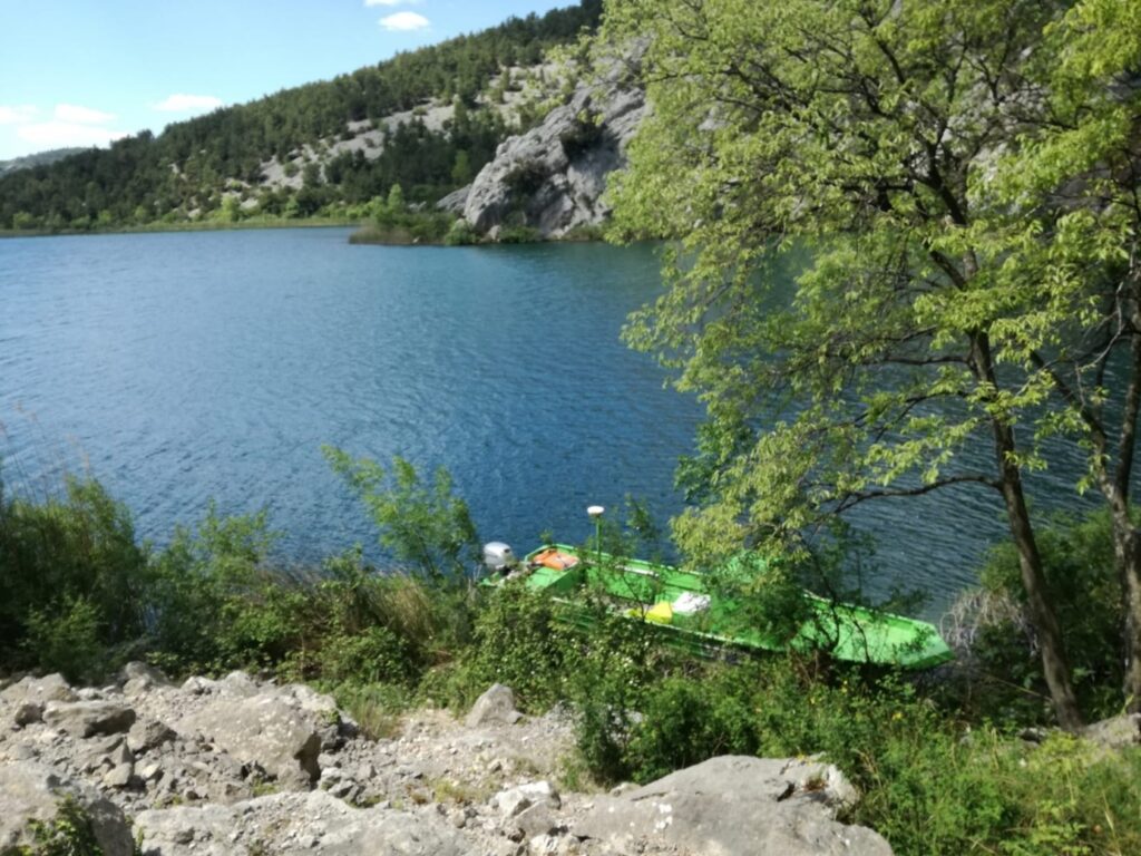
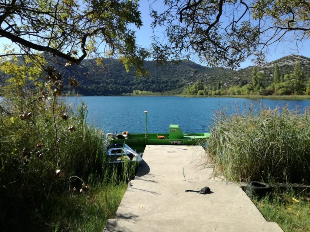
 To that end, a number of field activities were carried out: bathymetric surveying, surveying of lake shores, taking photographs, psammological surveying, and data analysis. Hydrological analysis of data from hydrometric stations was also done (stage duration), while based on the developed 3D model the average lake depths and volume at different durations were calculated.
The lake bottom was surveyed using a hydro-acoustic two-frequency device for underwater soil measurement, while the sediment depth was observed using a sub-bottom profiler (for now piloted at one lake), a device to survey the depth of sediment at the bottom of rivers and lakes. The shores were observed through aerial photogrammetric survey with a drone. Analysing the data obtained, a 3D terrain model was generated. For the areas not covered by the bathymetric and aerial photogrammetric surveys, use was made of the data collected by a satellite for the development of the 3D terrain model or through aerial photogrammetric surveys from an aircraft.

In cooperation with the companies Biota j.d.o.o. and Geotest d.o.o., the characteristics of the sediment at the lake bottom in terms of the sediment layer depth, roughness, hardness, bottom vegetation, etc. were assessed for all the lakes.

By combining the DTM of the lake bottom and the DSM of the shores, a unique model was obtained which was, in addition to the orthophoto maps and georeferenced videos, used for the determination of the morphological characteristics of the lakes.
The results of the site investigations and the project as a whole will be used for the preparation of data for the definition of the future regular surveillance and operational monitoring, the collection of data for the hydro-morphological typification and development of the reference conditions of lakes, an analysis of the impacts of different pressures on the hydro-morphological status and consequently on the ecological status, as well as for HV’s other needs.


