

Upon drafting the project, a georeferencing video of the Sava River was created covering the respective section and a geoid model for the project area.
The call for drafting bids for the project “Undertaking of Preparatory works, Drafting of the Main Design and Tender Documentation for Construction Permits for Renewal of the Waterway on the Sava River up to Class Va from Belgrade to Brčko (rkm0.0-rkm234.0)” was published and issued by the Ministry of Transport and Communication of the Republic of Bosnia and Herzegovina on 24 May 2012. The company Vodoprivredno-projektni biro d.d. from Zagreb in a consortium with the company IGH d.d. also from Zagreb was selected as the most favourable bidder and based on the mentioned bid, the contract was signed on 20 September 2013 between the mentioned parties.
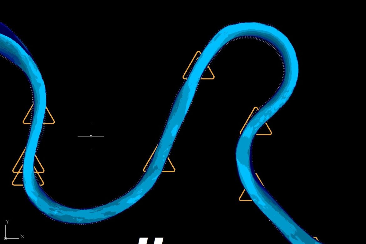
For the purpose of the “Bathymetric Survey of the Sava River for the Waterway from Belgrade to Brčko” project, a bathymetric survey of the Sava River riverbed was conducted; in line with the project requirements, observations of the water levels and flow were also completed. The applied bathymetric surveying method of the cross-sectional profiles was implemented every 50 meters, at positions where profiles were surveyed back in 2004.
For the design requirements, and in line with the terms of reference, new technology was applied to enable design engineers to gain insight into the terrain at any moment at any location of the river flow. This ability also enabled the creation of a georeferencing video across the entire section.
Prior to commencing the bathymetric survey, data on the existing geodetic survey map (trigonometric and benchmarks) had to be collected and observations made with the aim of establishing a geodetic survey map to be used in this project. The best solution for the geodetic survey maps led to the selection of a geoid model which was devised in cooperation with the Geodetic Faculty, University of Zagreb. The geoid model provided homogeneity of all measured data in terms of exactness of the geoid model and the instruments’ capacities. Considering the flow distribution of the Sava River, the geoid model covered an area of approx. 130 km in the west-east direction, and a minimum straight-line distance of 50 km in the north-south.


